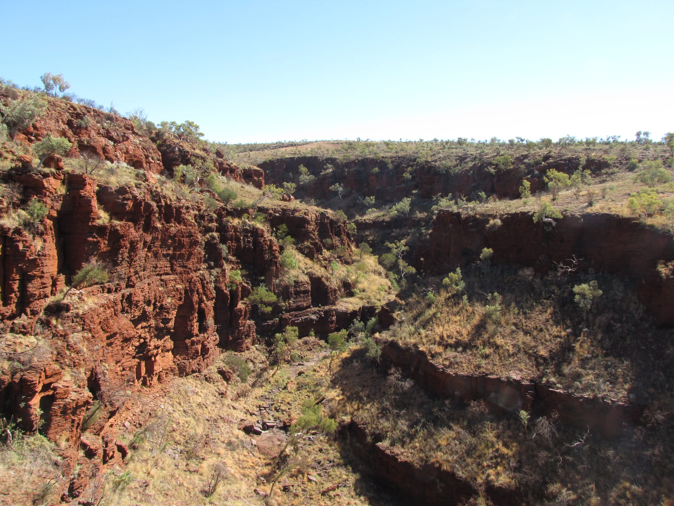
Understand and Visualise Cultural Heritage Landscapes
Use our archaeological and technical expertise to understand the cultural and geographical importance of an area. With our wide range of data collection methods, a bigger picture of the wider landscape can be formulated. Our capabilities in GIS and mapping services, as well as aerial photography, can assist in providing clear geospatial data analysis of an area.
Spatial analysis is a core component of archaeological research. It helps in understanding the relationships and patterns between different archaeological sites and features within a geographic context. Our team can provide a clear report detailing the descriptive information necessary for making informed decisions.


Explore our GIS and Mapping Services
Echoes Cultural Heritage Management have qualified drone pilots, who can capture high resolution photographs and videos of landscapes from a different perspective. Our drone-flying capacity also provides an efficient and cost-effective means of monitoring change over time of cultural heritage places and landscapes.
Echoes Cultural Heritage Management have a dedicated team of Geographic Information Systems (GIS) experts who can provide excellent services in mapping, data capture analysis and management. Our staff are proficient in using programs such as ArcGIS (Desktop and Pro), QGIS and Mappt. Through GIS and mapping services, we provide detailed maps for inclusion in reports for various heritage projects as well as for stand-alone requests.
CONTACT US
Get in Touch
Get in Touch
With Our Team Today

